Aegean Intelligence Group · Research
aegeanintel.com
Research · Series
A three-part series · May 2026

Insurance Trilogy.

Three papers, one inflection.

The catastrophe-insurance system was built on twentieth-century assumptions about risk, capital, and the physical baselines of the planet. Twenty-first-century losses are testing all three at once.

This trilogy maps where the stress is breaking through: in the catastrophe models that did not see secondary perils; in the capital markets now repartitioning peak peril through cat bonds, ILS, and parametric; and in the geodetic reference frames the entire flood-map regime quietly rests on. The system is not failing. It is repricing, layer by layer. The decisions made in the next eighteen months will determine who is exposed when it does.

I.
92%
Secondary-peril share of 2025 global insured losses.
II.
$25.6B
Record 2025 cat-bond issuance; capital markets repartitioning peak peril.
III.
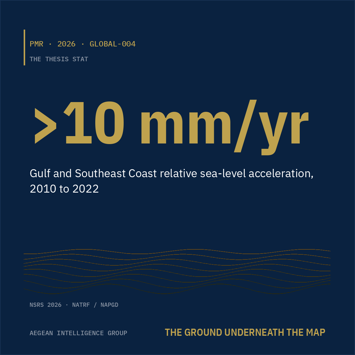
>10 mm/yr
Gulf and Southeast Coast relative sea-level acceleration, 2010 to 2022.
When the Models Met Reality
I. · PMR-2026-0526-GLOBAL-002

When the Models Met Reality

Catastrophe Repricing, Carrier Retreat, and the Public Balance Sheet
In 2025 secondary perils carried 92% of global insured losses. The catastrophe models did not see them; the carriers retreated; the public balance sheet is quietly absorbing what private capital is shedding. A read on where the rotation goes from here, and on which firms are positioned for the world that is now arriving.
13 pagesTimeliness: CurrentIssue date 2026-05-26
Read paper I →
The Uninsurable Frontier
II. · PMR-2026-0526-GLOBAL-003

The Uninsurable Frontier

Parametric, ILS, and the Capital-Markets Repartition of Catastrophe Risk
Cat bonds, parametric, and ILS are pricing the peak peril that traditional reinsurance is shedding. A record $25.6B of 2025 cat-bond issuance against a $61.3B outstanding market. A map of who is now holding catastrophe risk, on what terms, and what the durability of the new arrangement actually depends on.
13 pagesTimeliness: CurrentIssue date 2026-05-26
Read paper II →
The Ground Underneath the Map
III. · PMR-2026-0526-GLOBAL-004

The Ground Underneath the Map

Reference-Frame Modernization, Vertical Land Motion, and the Hidden Basis Risk in Insurance
The flood-map regime rests on a reference frame the geodetic agencies are actively rebuilding. End of 2026, every elevation moves; Gulf and Southeast Coast relative sea-level is already accelerating past 10 mm/yr. Five million NFIP policies sit on a static-planet assumption, and the basis risk is moving onto the books of someone, somewhere, every quarter.
14 pagesTimeliness: DurableIssue date 2026-05-26
Read paper III →
All published research Briefings, scope conversations, or media inquiries: contact@aegeanintel.com